Tableau is designed to make the most of geographical data, so you can get to the “where” as well as the “why.” With instant geocoding, Tableau automatically turns the location data and information you already have into rich, interactive maps with 16 levels of zoom—or use custom geocodes to map what matters to your business. Census-based population, income, and other standard demographic datasets are built in. In the visual environment of Tableau, you can explore the world through data and share what you find in just a few clicks. You can even import geographic data from R or GIS (or whatever other spatial files or custom geocode data you have) and make it more easily accessible, interactive, and shareable via Tableau Cloud, Tableau Public, and Tableau Server.
Solutions
Maps
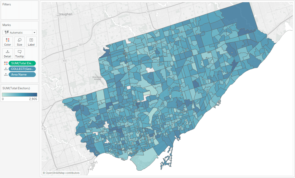
Map data natively integrates in Tableau
Quickly see your geospatial data in Tableau. With region names, airport codes, and population data included, your maps data becomes even more meaningful.
Watch the getting started videoTableau is revolutionizing data analysis and has truly made geographic analysis accessible to everyone.

Let your map tell the story
From symbol to choropleth (or filled) to point distribution maps, Tableau makes it easy for your geographical data to come to life. Mapping the data isn't the hard part, choosing which map type to use is. Tableau Supports:
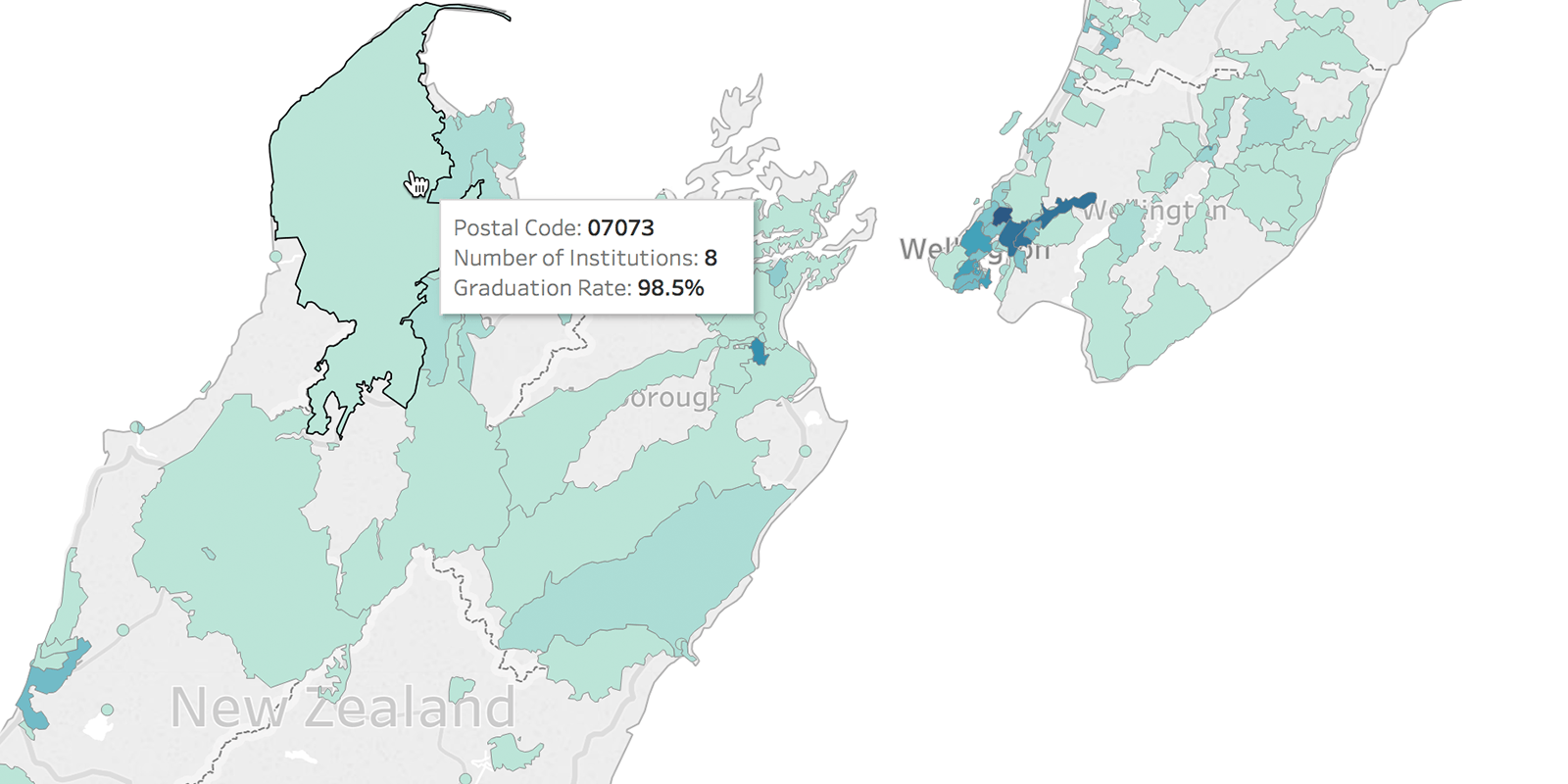
- Choropleth maps
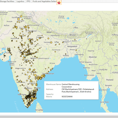
- Proportional symbol maps
- Point distribution maps
- Flow maps
- Origin-destination spider maps
- Heat maps
- And more
How Tableau Customers Use Mapping Data


Stepping Up Treatment with Mobility Outreach International
Tackle your geospatial analysis with ease
Tableau's spatial file connector allows you to easily connect to and join Esri Shapefiles, KML, MapInfo tables, GeoJSON files and other forms of geospatial data.
Learn more about spatial files